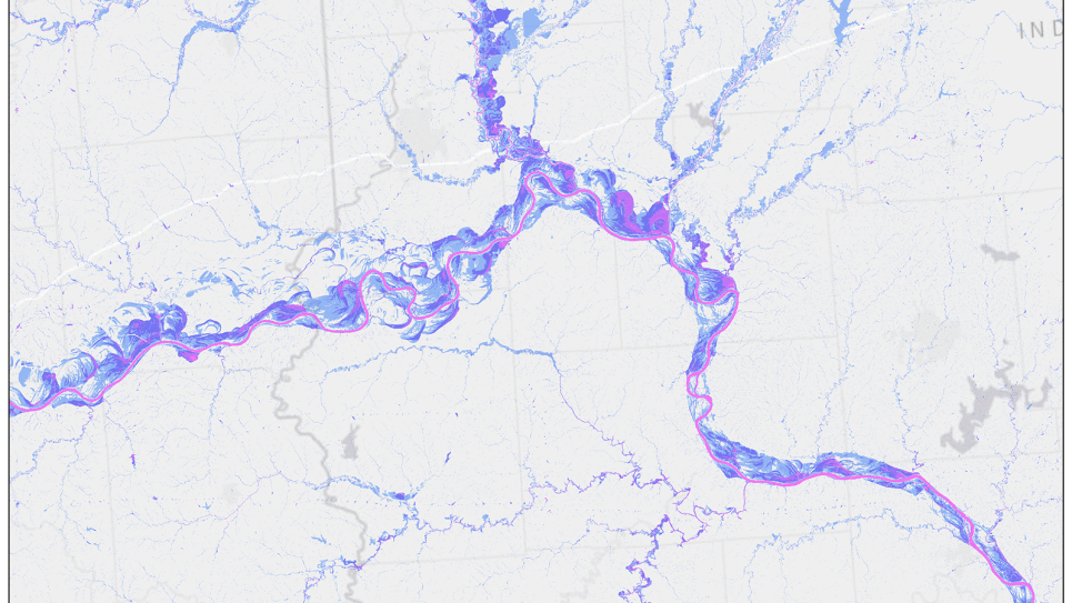
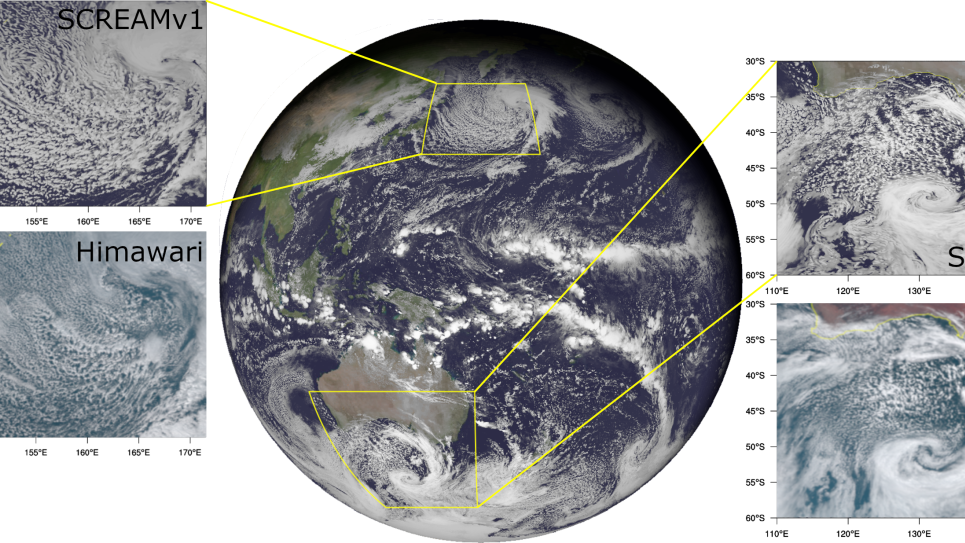
With this INCITE project, researchers will use very high spatial-resolution regional-scale climate models to explore the physics underlying the formation and evolution of extremes in precipitation and temperature in the current and future climates under various greenhouse gas emission scenarios
The ability to assess the risk from extreme climate events is critical for developing adaptation and mitigation strategies that are often made at local and regional scales of the impacted region. Therefore, improved capabilities for predicting the frequency, duration, and extent of such events and their potential impacts for various locations across the continental United States is becoming increasingly necessary.
However, identifying and evaluating the risk in a warming climate requires long timescales for the simulation covering multiple decades and/or a large ensemble that covers a selected time slice. In addition, simulating extreme events and their impacts requires very high spatial resolution in the models, often covering several orders of magnitude, from hundreds of kilometers to tens of meters. Both these factors make these calculations computationally intensive.
The team’s ultimate goal is to provide the research community with a large multi-petabyte dataset of climate simulations with well-characterized uncertainties and biases that can be used to realistically describe extreme events, understand the environmental drivers that contribute to these extremes, and estimate risk from these events at local scales. The results from this work will provide a unique database for performing further studies for developing AI-based emulators for extreme events and developing climate risk estimates at local scales from these events.