The intensity and frequency of extreme events driven by Pacific Ocean variability has increased over time. Modeling the effects of Pacific Ocean surface temperature variability, coupled atmospheric dynamics, and long-term changes is crucial for understanding their influences on future extreme weather events in the United States, including the Pacific U.S. islands of Hawaii, Guam, Northern Mariana, and American Samoa. The insights gained will be critical for enhancing the resilience of energy systems, infrastructure, and communities against the impacts of extreme weather events.
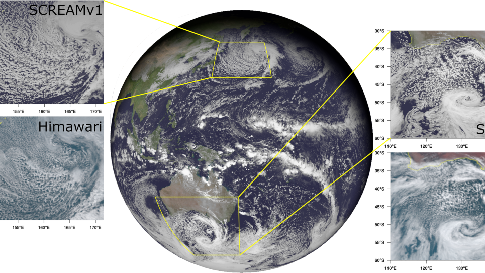
This INCITE project will produce high-resolution datasets for regions extending from the U.S. and across the Pacific Ocean using DOE supercomputing resources to investigate the high impact of extreme weather and climate events extending into mid-century (2015-2055). The team will deploy the Simple Cloud Resolving E3SM Atmosphere Model (SCREAM) on DOE supercomputers over a global computational domain with regionally refined areas across the Pacific Ocean, the contiguous U.S. (CONUS), and particularly the U.S. islands, which are sorely underrepresented and lacking high-resolution data for future projections. This work will advance the availability of actionable data for the analysis of extreme weather events in the U.S. and ensure that the datasets generated by this work are publicly available. This unique set of simulations will also foster collaborative opportunities with other research organizations, and the generated dataset is expected to be valuable for numerous projects funded by DOE and other agencies—particularly for projects that are interested in risk, reliability, and resilience studies to inform infrastructure planning.