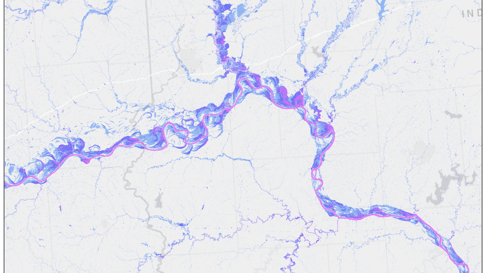
Researchers from Oak Ridge National Laboratory are using TRITON, an open source 2D hydrodynamic model, to simulate flood wave propagation and surface inundation. Image credit: Sudershan Gangrade, Oak Ridge National Laboratory.
Climate change is strengthening the intensity, frequency, and magnitude of extreme rainfall events. This poses a unique challenge for flood risk management, especially since there are limited tools and data to address this threat. Simulation of flood inundation relies on the integration of atmospheric, hydrologic, and hydrodynamic models in a format that is not usually available to decision makers.
Modeling capabilities at the scale of large floods are needed to understand the risks they pose, but achieving this scale and spatial resolution has been challenging due to cost and power constraints. This project is developing a high-resolution inundation model using TRITON, an open-source multi-GPU model for 2D inundation. The model’s framework will assess climate-informed flood hazards and the risk to population and infrastructure. By taking advantage of the computing power of DOE’s exascale supercomputers, the project will advance the current limits of flood inundation modeling to necessary scales.
The framework will approach the inundation analysis using both historic and future climate conditions, generating high-resolution, climate-informed probabilistic flood maps. This will help identify vulnerable locations, infrastructure improvements, and emergency preparedness measures